Interactive mapping · Contribution
TET Atlas
A contribution to the interactive mapping application for the Trans Euro Trail.
Open TET Atlas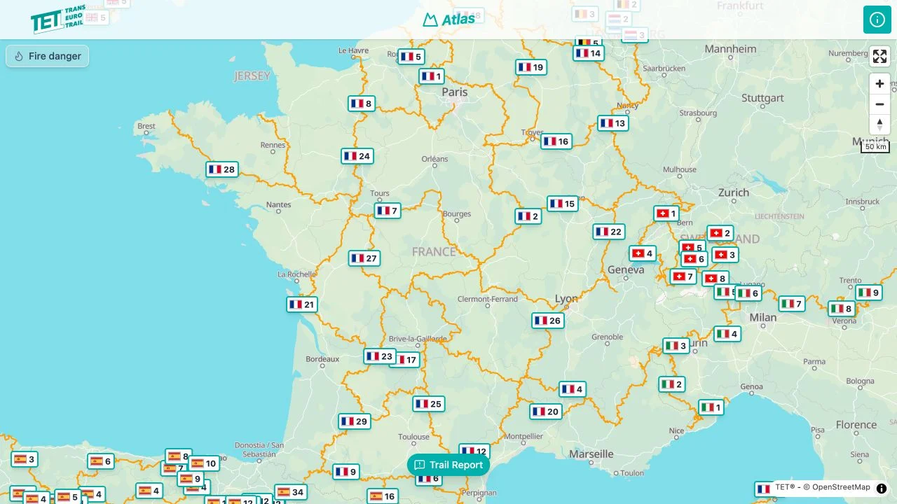
- My involvement
- Contributor
About the project
TET Atlas presents the Trans Euro Trail, a network of adventure motorcycle routes across Europe, through an interactive map. I contributed to the development of the application.
Exploring the Trans Euro Trail on a map
TET Atlas presents the Trans Euro Trail’s motorcycle routes through an interactive map. The geographical view lets visitors place routes in their wider European setting and explore the network visually.
My role in a shared application
My work on TET Atlas took place within an existing application, alongside other contributors. It adds experience of a shared mapping project to the websites and applications I have developed.
Have something similar in mind?
Email meNext projectSociété des Pastellistes de France